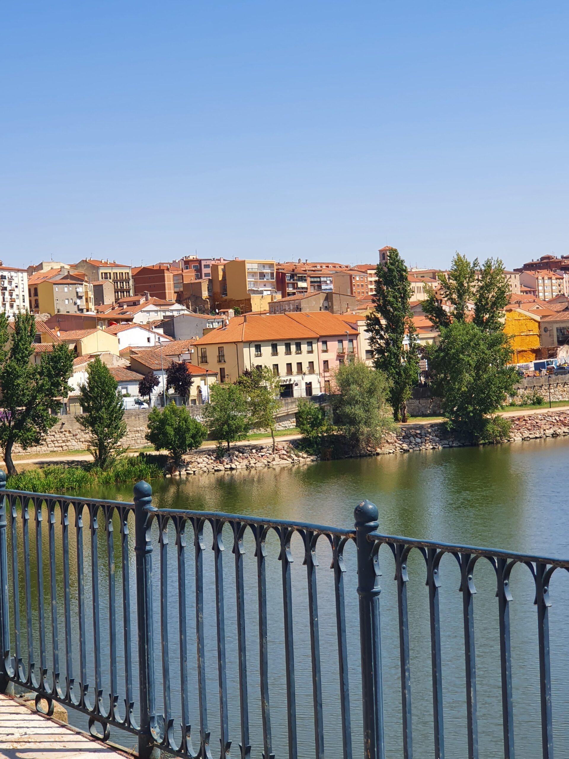
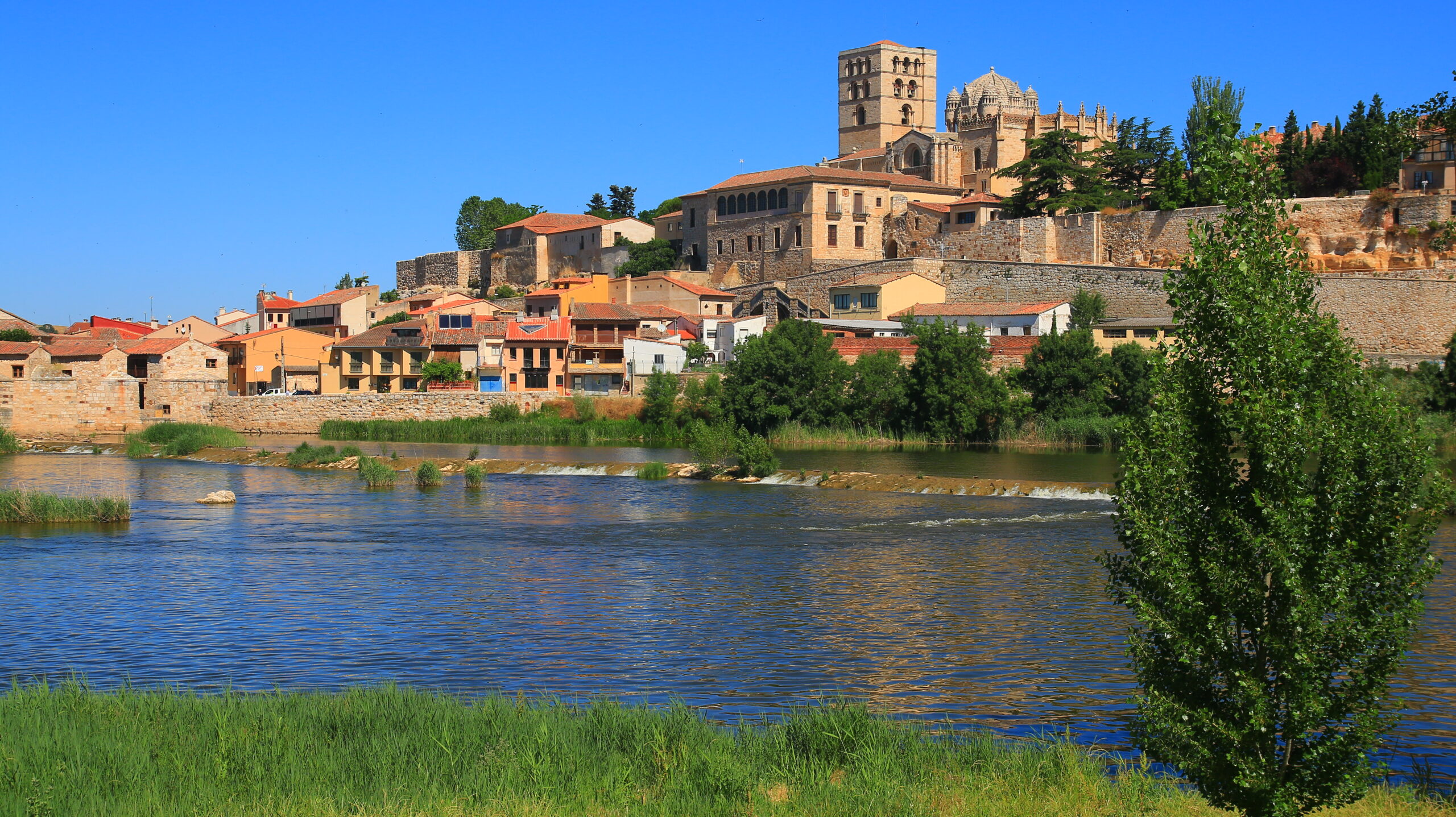
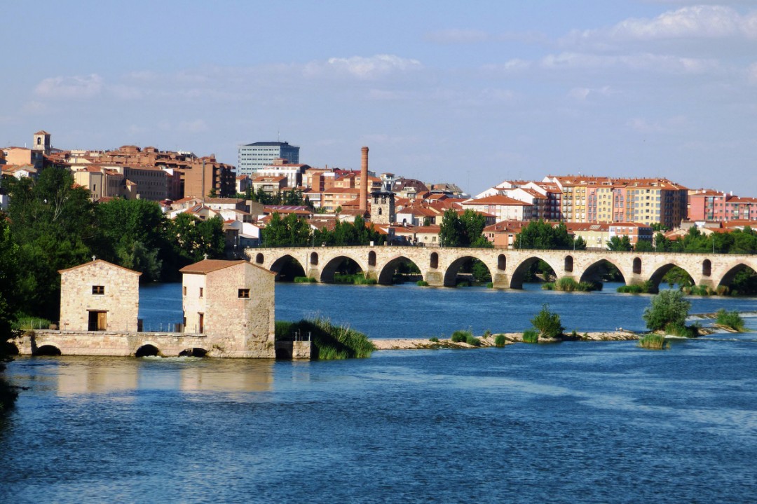
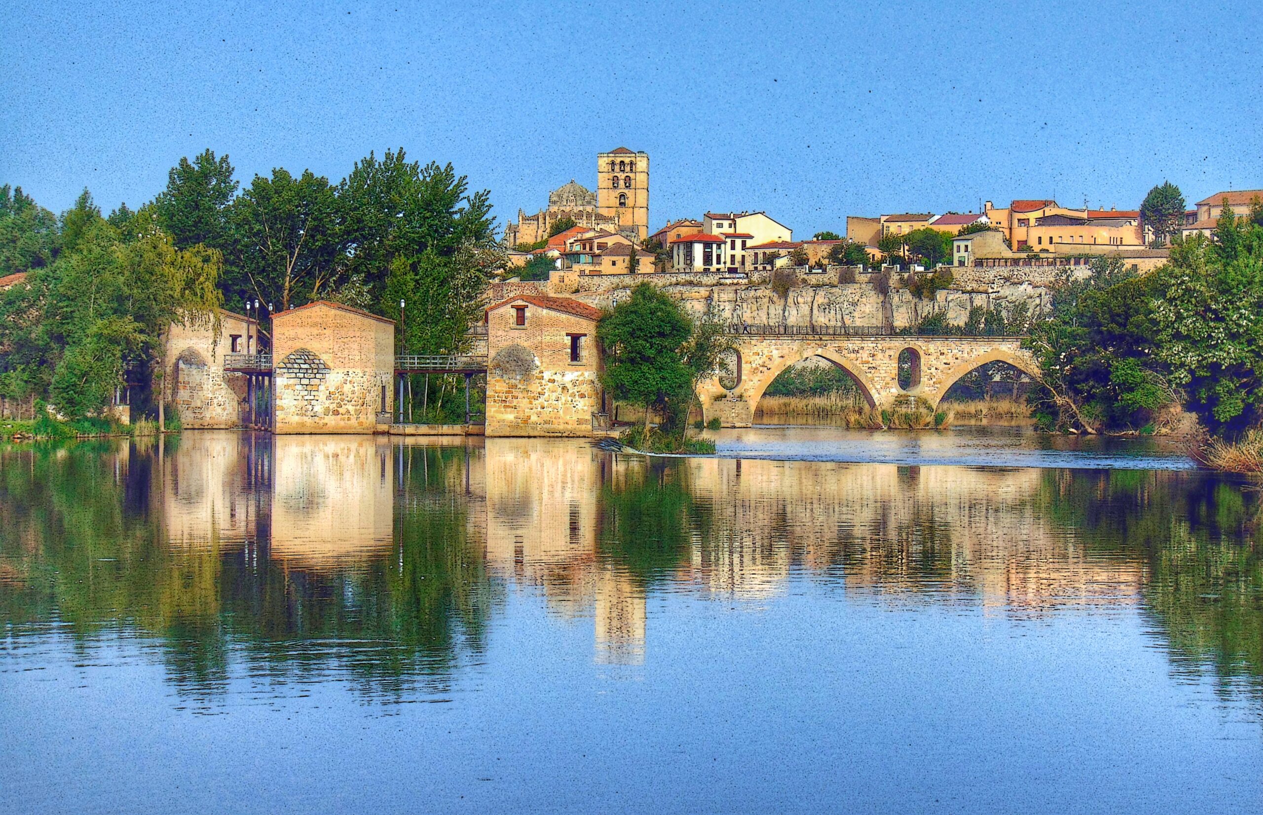
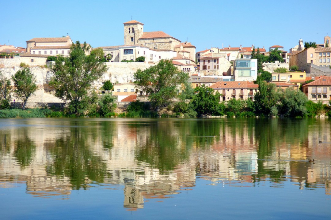
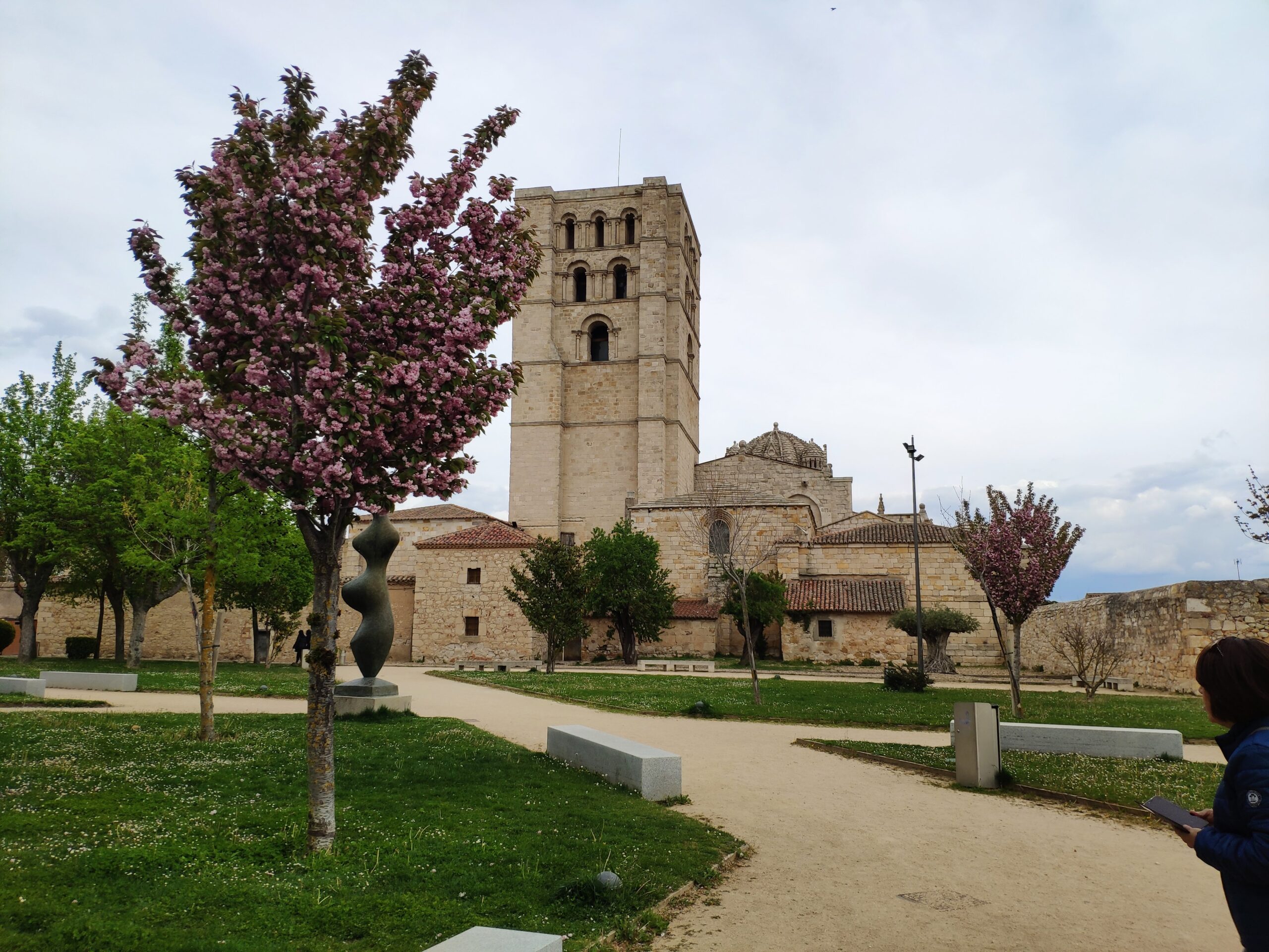
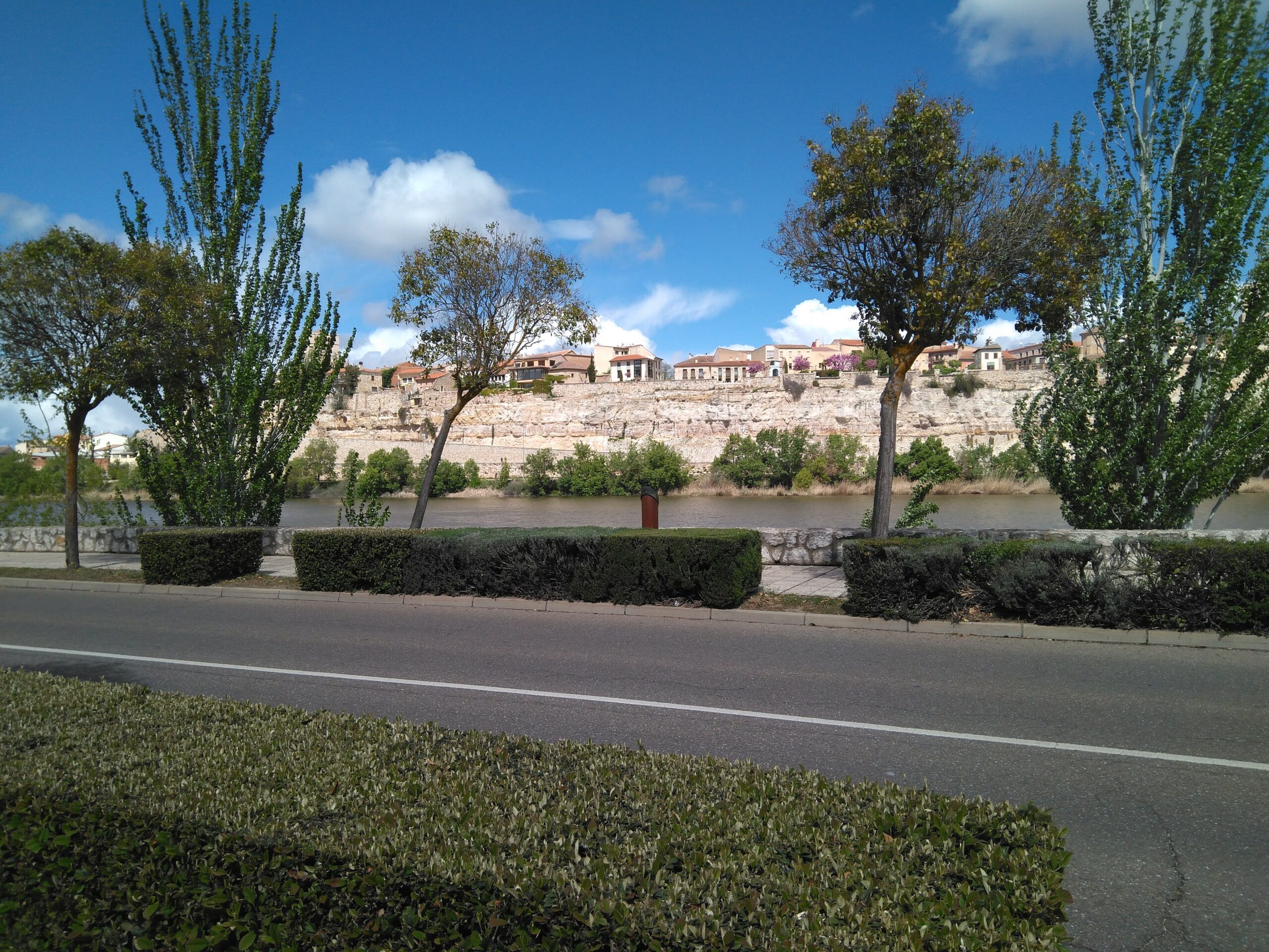
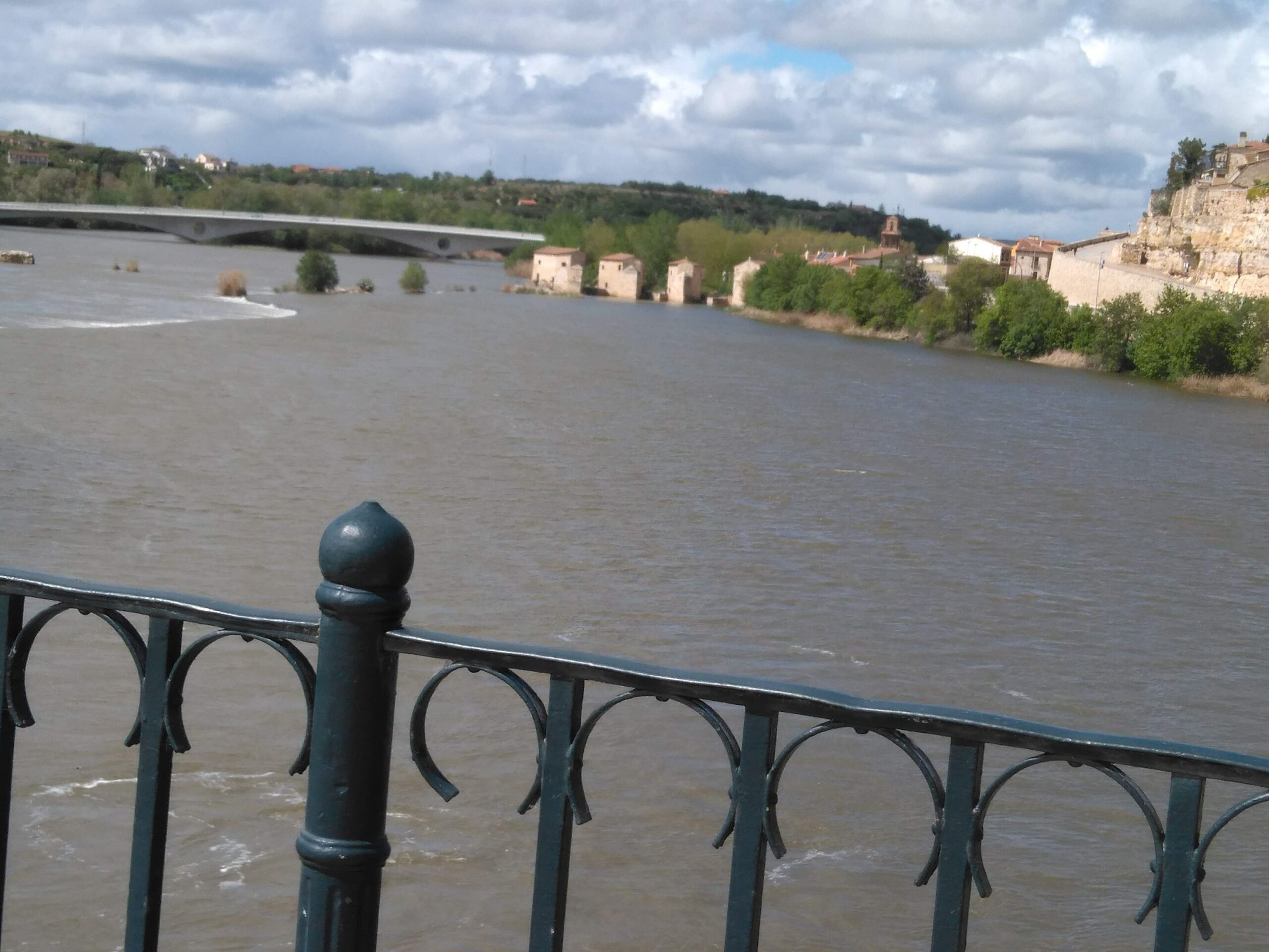
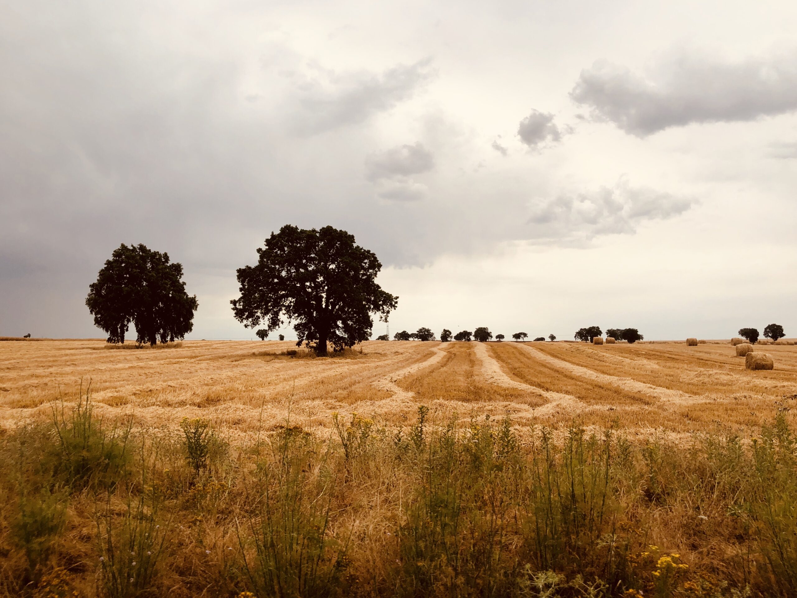
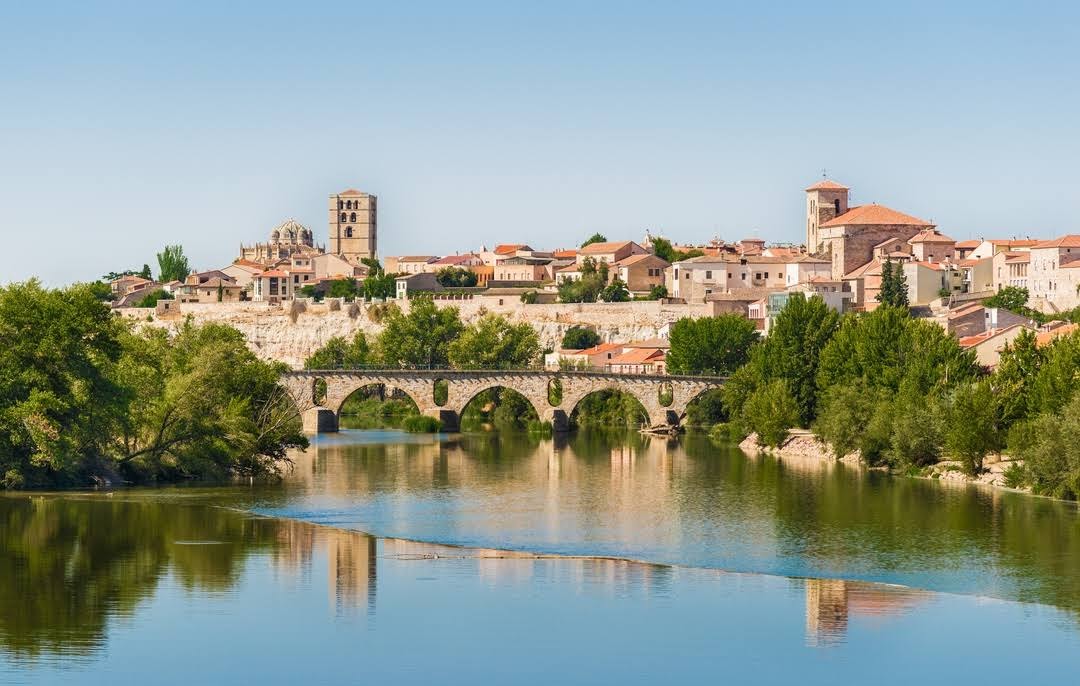
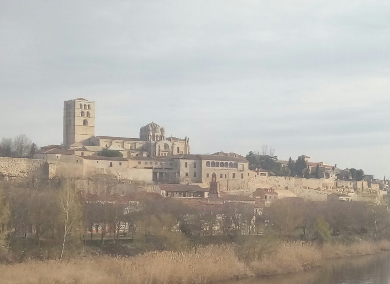
Zamora is located in the northwest of Spain, nestled in the Castille-Leon region. It sits on the northern banks of the Duero River, making it a strategic inland city that has long benefited from its riverside position. The city is surrounded by the vast plains of the Meseta Central, with views of rolling hills and agricultural landscapes. Zamora is roughly 250 kilometers northwest of Madrid and about 100 kilometers from the Portuguese border, providing a link between Spain and Portugal. Neighboring cities like Salamanca and Valladolid are within easy reach.
The climate of Zamora is characterized by hot summers and cold winters, typical of its inland location. Summers can see temperatures rise above 30°C (86°F), making the warmer months ideal for outdoor activities and events, though shaded areas and riverfront venues are especially popular during this time. Winters are cold, with temperatures sometimes dropping below freezing, providing a more peaceful and atmospheric experience for visitors, particularly for those looking to enjoy the city’s historical ambiance. The best times to visit are spring and autumn when the weather is mild, and the natural landscapes are at their most vibrant.
The Duero River provides a scenic backdrop to the city and plays an important role in the local wine industry, while the nearby Sierra de la Culebra mountain range offers opportunities for nature enthusiasts to explore local wildlife, including the famed Iberian wolf.