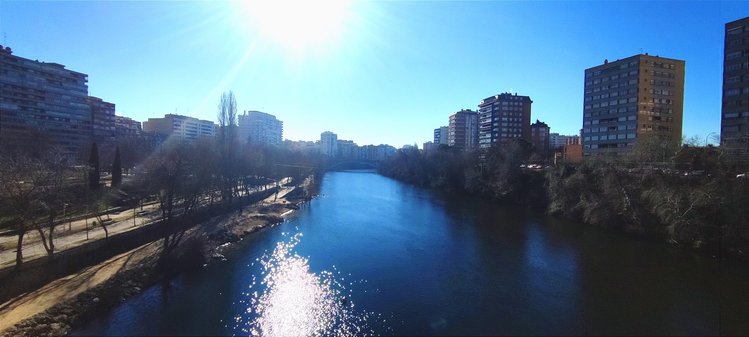
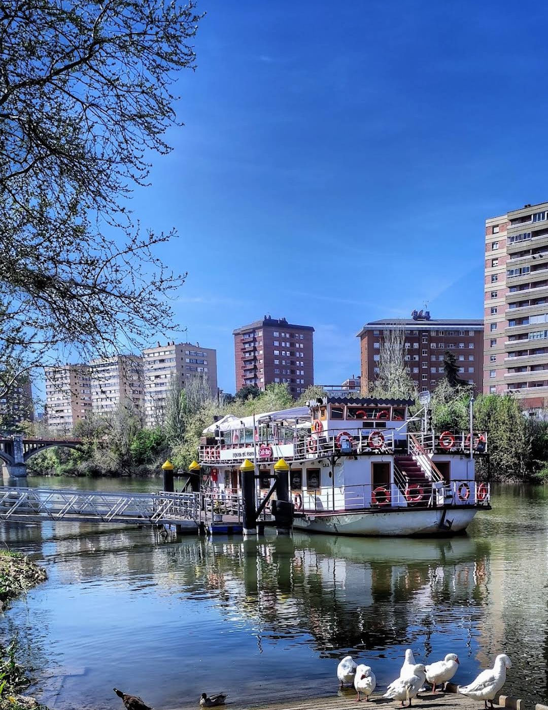
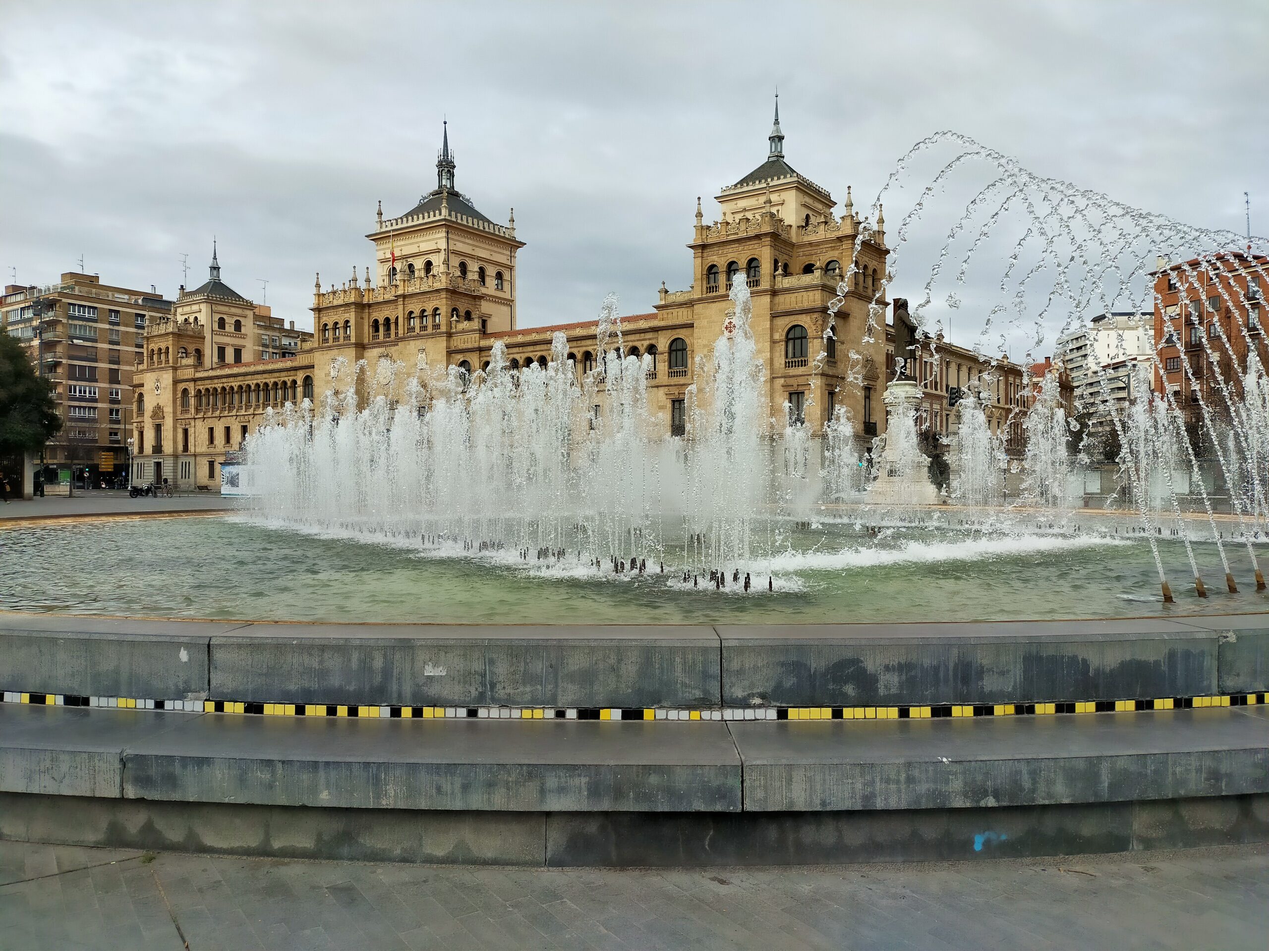


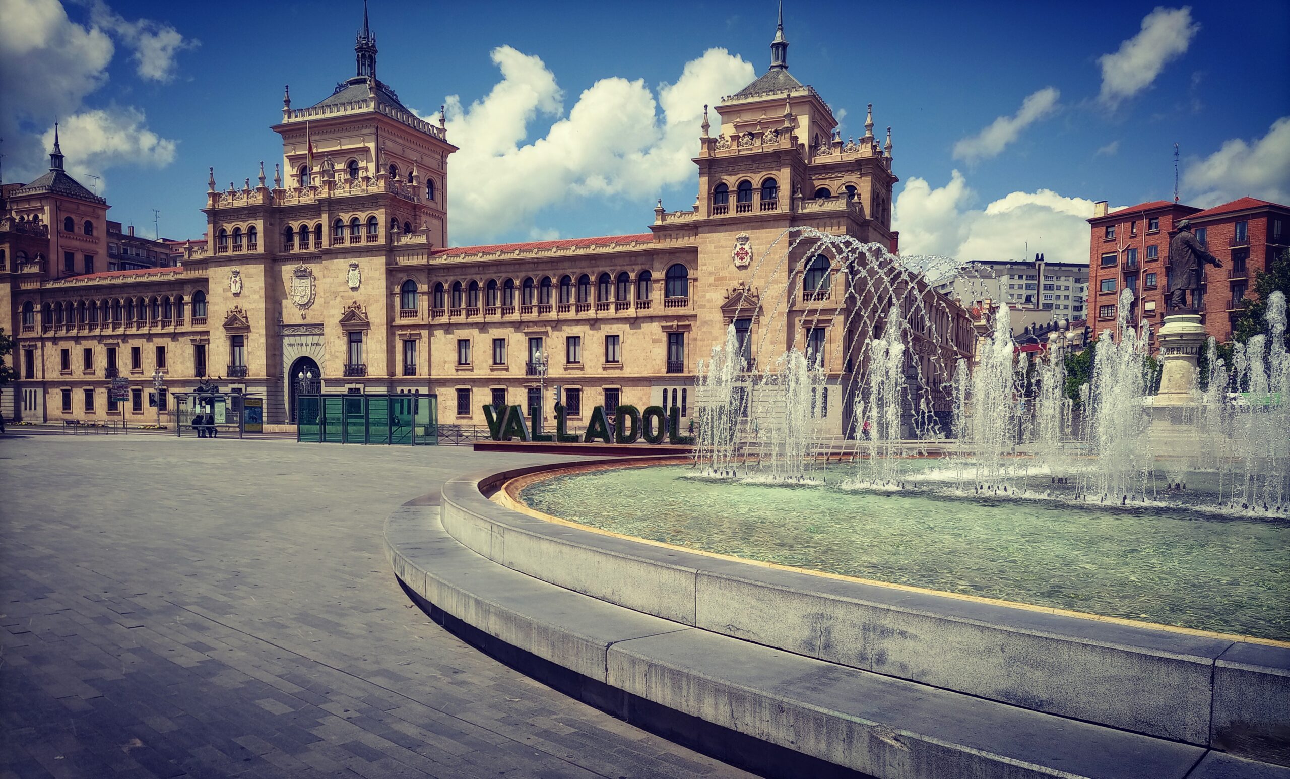
Valladolid is located in the autonomous community of Castille-Leon, in the northwestern part of Spain. It is situated inland, on the expansive plateau known as the Meseta Central. The city lies near the banks of the Pisuerga River, which flows through its heart, offering scenic views and leisurely riverside walks. While Valladolid is not near the coast, its central location makes it a perfect jumping-off point for visiting nearby cities like Madrid (just over an hour away by train) and Salamanca. The proximity to the famous Ribera del Duero wine region also makes it a top destination for wine lovers.
The climate in Valladolid is characterized by hot summers and cold winters, with the region experiencing a semi-arid climate typical of the Meseta Central. Summers can reach highs of around 35°C (95°F), while winters can see temperatures drop below freezing. Rain is relatively sparse, with most precipitation occurring in spring and autumn. The best times to visit are during the spring (April to June) and autumn (September to October) when the weather is mild and pleasant, perfect for sightseeing and outdoor events.
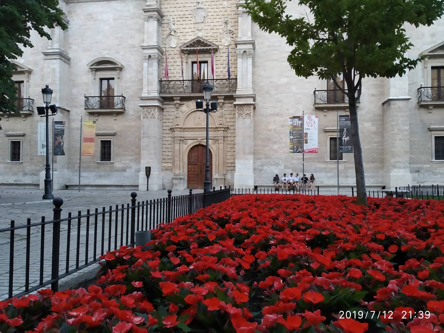
Despite the harsh winters, Valladolid remains a year-round destination, with each season offering something unique. The vibrant colors of spring and autumn make these months ideal for enjoying the city’s parks, gardens, and outdoor attractions, while summer is perfect for cultural festivals and events.