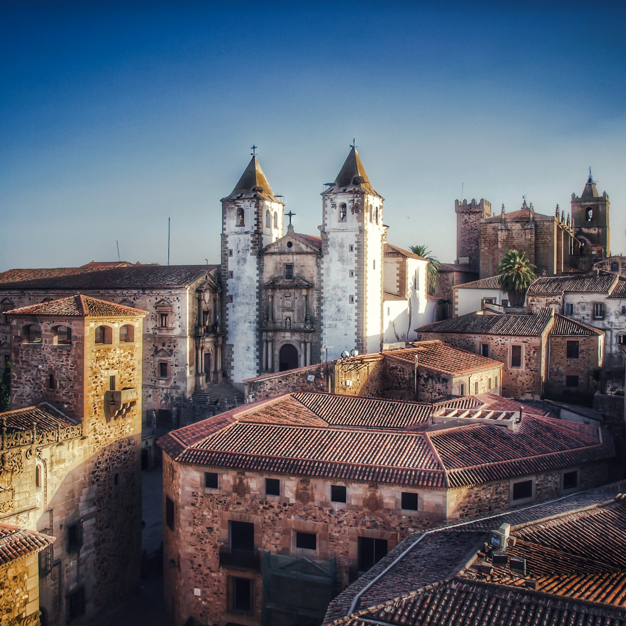
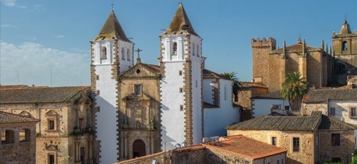
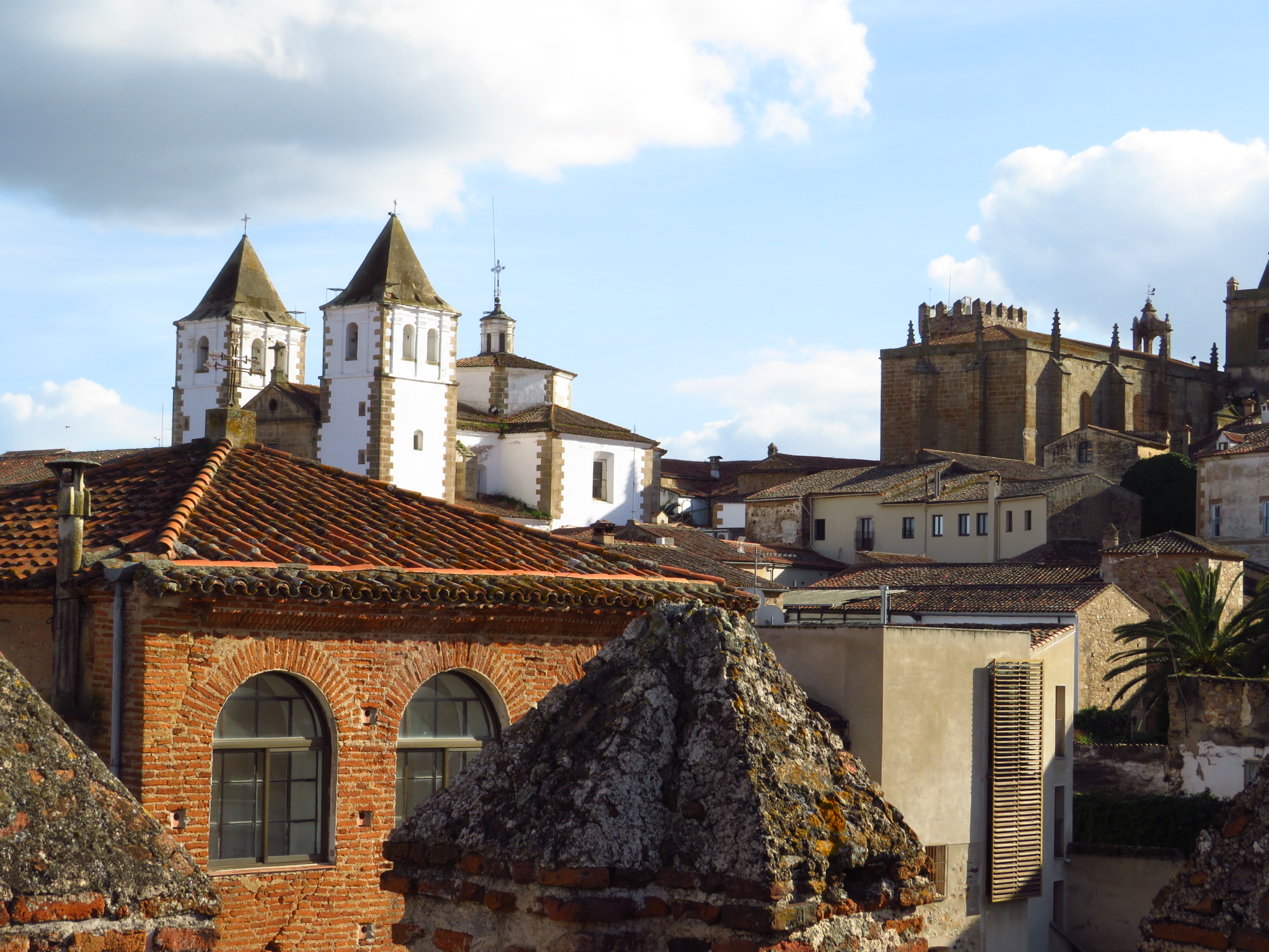
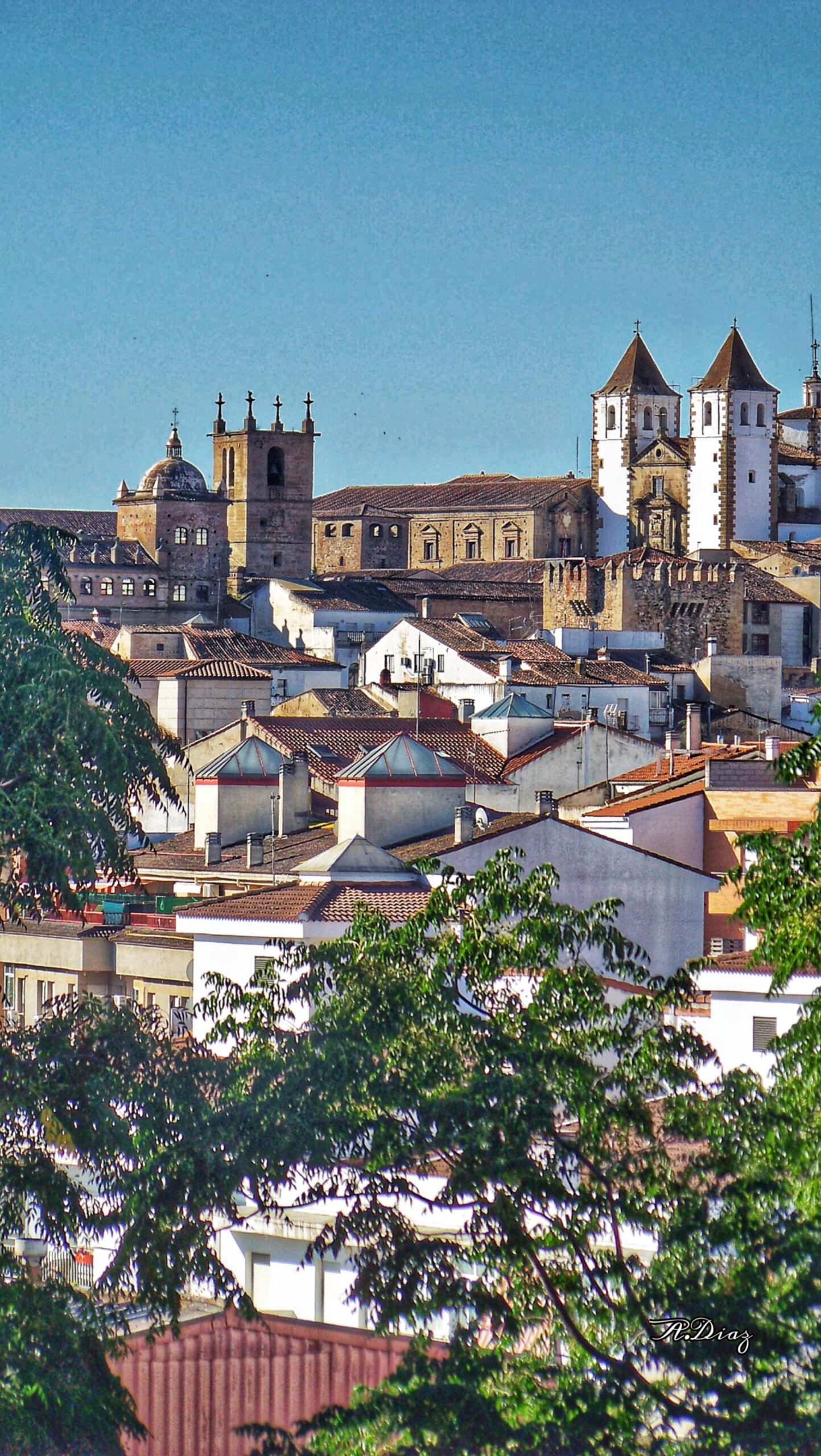
Cáceres is situated in the Extremadura region of western Spain, nestled inland and away from the country’s coastal regions. Its geographical location is characterized by rolling plains, with the city itself perched on a plateau, offering stunning views of the surrounding landscape. The nearby Sierra de San Pedro mountain range and Tagus River are notable geographical landmarks that contribute to the city’s natural beauty. Major cities like Madrid, Seville, and Lisbon are accessible within a few hours’ drive, making Cáceres conveniently positioned for travelers seeking a more off-the-beaten-path destination.
The city experiences a Mediterranean climate with continental influences, characterized by hot summers and mild winters. In the summer months, temperatures can soar to over 30°C, making spring and autumn the best times to visit. During these seasons, the weather is more temperate, ideal for walking through the historical streets and enjoying outdoor activities. Winters are generally mild, though temperatures can drop in the evenings, adding to the cozy charm of the city during the holiday season.
Cáceres is well-suited for year-round visits, but for those who prefer to avoid the intense summer heat, April to June and September to November are the most pleasant periods. During these months, the city’s parks and outdoor spaces are lush, and the temperate weather encourages exploration of both the historical sites and nearby natural attractions.